250 Years of Mapping America
| When | Thursday, December 17, 2026 from 4:00 PM - 6:00 PM |
|---|---|
| Where | Clark Library Hatcher Library South, Second Floor View building informationView floor plan |
| Event type | Reception/Open House |
| Series | Third Thursdays at the Library |
Celebrate the end of the United States’s Bisesquisentennial year and the Clark Library’s recent acquisition of the 1782 edition of "The American Atlas" with us! Maps and atlases from before colonization up to the Bicentennial celebrations of 1976 will be on display, along with many maps in between.
The star of our Third Thursday display will be the "American Atlas," which was one of just four atlases of the Western Hemisphere in print at the time of the American Revolution and thus was an important reference for leaders on all sides of the conflict. Our copy is of particular historical interest because this edition was published while the Treaty of Paris was still being signed and negotiated, keeping people on both sides of the Atlantic up-to-date on the end of the conflict between the States and England.
Join us in the Clark Library (on the 2nd floor of Hatcher) for Third Thursdays at the Library, a themed monthly open house where we share materials from our collections. While you’re here, pick up a passport and collect a stamp from each of the four Third Thursday Open Houses — Asia Library, Clark Library, International Studies, and Special Collections Research Center — to win a poster.
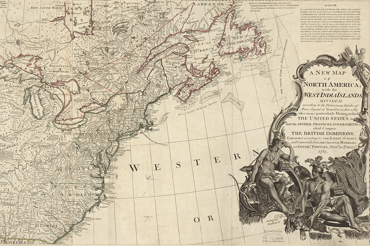
Cropped portion of "A new map of North America, with the West India Islands: Divided according to the preliminary articles of peace, signed at Versailles, 20 Jan. 1783….," Thomas Pownall, 1783.
Library contact
Library events are free and open to the public, and we are committed to making them accessible to attendees. If you anticipate needing accommodations to participate, please notify the listed contact with as much notice as possible.