Maps and Atlases
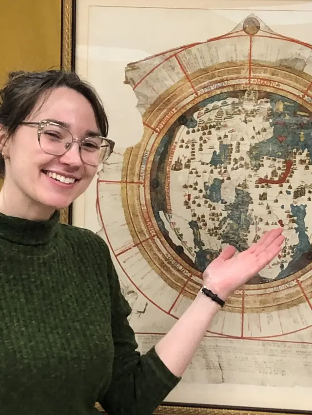
We collect maps, atlases, and reference works from all parts of the world, with a growing focus on urban cartography.
Our strengths include collections from North America, especially the Great Lakes region and the northeast; South Asia and Japan; Eurasia; the Mediterranean world; and parts of Europe such as Ireland, Great Britain, France, Italy, Spain, and Greece. Items of note include the first modern topographic maps from 18th-century France and 19th-century Britain.
Subject area strengths include the history of cartography, topographic maps, nautical charts, archaeology, climatology, forestry, aeronautics, road maps and views, and much more.
The bulk of our materials are held in the Clark Library. We maintain print as well as digital resources such as online databases and catalogues.
Visit access our maps for information about how to view print maps and atlases.
Significant map and atlas collections
We have a number of significant map and atlas collections. These are each named after their respective collector: Clinton, Hubbard, Julius, and Vignaud.
Important related collections
Our collection has developed in close collaboration with the William L. Clements Library, which has a rare map collection focusing on the early history of the Americas.
Digital map collections
Research guides
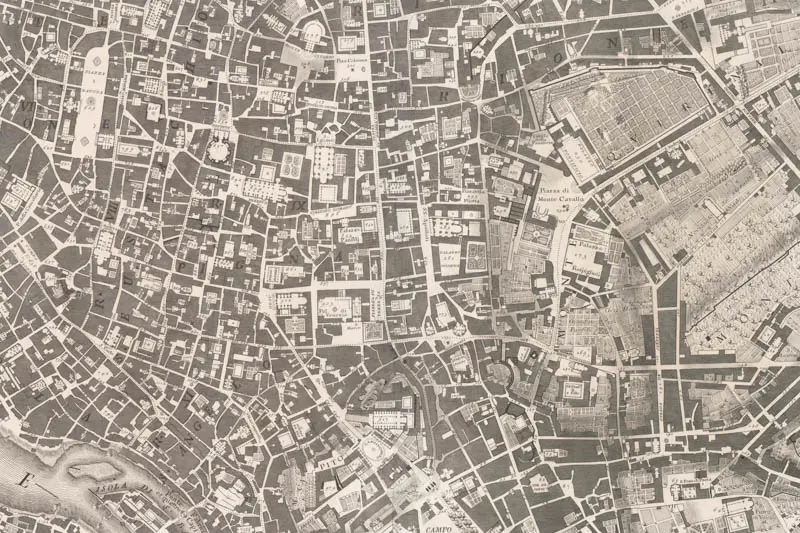
Map of Giambattista Nolli, Pianta di Roma from 1748.
Contact